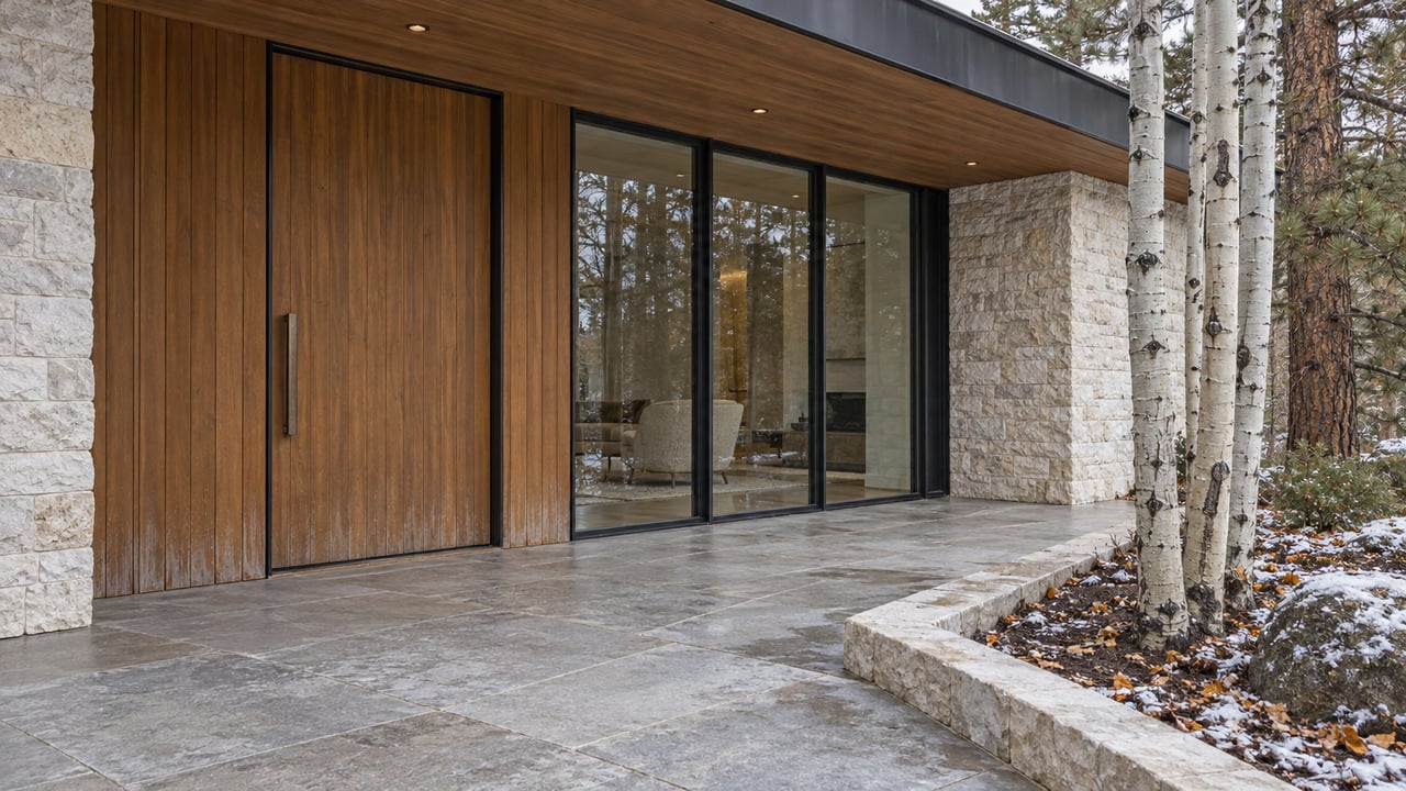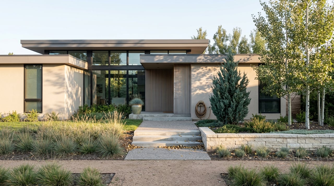
Picture two Bozeman lots, half a mile apart, same era, same square footage, same asking price. From the street they look identical. On paper, since February 1, 2026, they are not even close.
That gap is the story most listings, and most conversations about Bozeman real estate, are still missing. The city didn't tweak a setback rule or add a permit fee this year. It replaced its entire development code, rewrote the zoning map underneath roughly half the city, and changed what a lot is legally allowed to become. More than seven months in, the pricing data hasn't fully absorbed it.
What Actually Changed on February 1
On December 16, 2025, the Bozeman City Commission gave final adoption to Ordinance 2151, which repealed the city's old Chapter 38 in its entirety and replaced it with a new Unified Development Code and a new zoning map. The changes took effect February 1, 2026, closing out a rewrite that had been in motion since 2022 and that drew thousands of public comments, an abandoned 2023 draft, and a full second round of hearings before it passed.
The rewrite was also the city's final step in complying with the Montana Land Use Planning Act, a 2023 state law with a compliance deadline of May 2026. That's the regulatory reason the timeline moved when it did. It doesn't change what matters to a buyer or seller today, which is that the legal ceiling on a given parcel shifted, in some cases dramatically, and the shift landed on the map itself, not just inside the rules of an existing zone.
The Density Most Owners Never Priced In
Before the rewrite, roughly half of Bozeman's land was zoned exclusively for single-family homes. The Gallatin Valley Sentinel reported that the new code folded the old low-density districts, R-S, R-1, R-2, and R-3, into a consolidated R-A and R-B framework. Under that new framework, the rules governing housing capacity changed. The Bozeman Daily Chronicle reported that duplexes are now allowed wherever a single-unit home was previously the only option.
None of this required a homeowner to do anything. It just changed what could be built next to them, behind them, or on the same parcel they already own.
| Zoning Before Feb. 1, 2026 | Zoning After Feb. 1, 2026 | What Changed on the Ground |
|---|---|---|
| Former low-density districts | Consolidated low-density framework | Housing capacity changed |
Where the Fight Actually Landed
The rewrite wasn't uniform in how it hit specific neighborhoods, and the sharpest resistance came from areas that already had a foot in both worlds. Residents near Centennial Park and in the Bon Ton Historic District south of downtown pushed the city to zone their blocks under R-A, the least dense option on the table, arguing their streets were already human-scale and didn't need a formal upzoning to stay livable. One resident pointed out that the Evergreen apartment building already sits on his block, next to large historic homes that had long since been split into multiple units. The density wasn't new. The question was whether the code should catch up to it or lock it in place.
That tension split local advocacy groups along predictable lines. The Bozeman Welcoming Neighbors Coalition backed the broader density increases as a way to add housing variety across more of the city. The Better Bozeman Coalition pushed back on what it saw as risk to the character of established single-family blocks. Both positions are still active in how individual neighborhoods are treated under the new map. The city's UDC FAQ says historic district review and Neighborhood Conservation Overlay District standards still apply on top of base zoning. A lot in Bon Ton might carry the same R-A designation as a lot in a newer subdivision and still face a design review process the newer lot never will. Zoning sets the ceiling. Overlay districts decide how close you can actually get to it.
Why Your Comps Might Be Lying to You
This is where the appraisal side of the story matters more than the zoning side. Valuation depends heavily on what a property is legally permitted to become, not just what's standing on it. Appraisers call this highest and best use, and it's one of the first questions a properly done valuation is supposed to answer. When a city rewrites its zoning map overnight, the legal answer to that question changes for thousands of parcels at once, but the sales data used to support a valuation almost always predates the change.
Most comparable sales pulled today still closed before February 1, 2026, or reflect buyers and sellers who transacted without knowing what the parcel would be entitled to build under the new code. That's not a flaw in any one appraisal. It's the nature of trailing data during a regulatory reset this size. The practical result is that a single-family lot sitting in a newly upzoned R-A district can carry redevelopment value that a straightforward single-family comp doesn't capture, and a buyer comparing two similarly priced listings in different parts of town may be paying the same money for very different degrees of future flexibility.
The city's own code FAQ is clear that none of this forces a sale or a redevelopment. The city cannot compel an owner to add units or sell to a developer. What changed is optionality, not obligation, and optionality is exactly the kind of thing a trailing comp doesn't price correctly.
The One Search That Tells You the Truth
Before assuming a lot's old zoning label still applies, the fastest way to check is the city's own Community Development Map Viewer, which lets you type in an address and see its current zoning designation under the new code. The full ordinance text and map are also posted through the city's engagement portal, and the adoption details are laid out in the city's own release. If you're comparing two Bozeman addresses and the online listing still references an old zoning code like R-2 or R-3, that label is legacy language. The parcel's actual designation, and what it's currently entitled to hold, may be something else entirely.
A Short FAQ
Does this mean my single-family home has to change? No. Nothing requires an existing owner to add units, redevelop, or sell.
Does the new zoning override historic district rules? No. A lot inside a historic district may carry the same zoning label as one outside it and still face a different, more restrictive design review process.
How do the city's vesting rules affect projects already underway? The city's vesting rules determine which code version applies to a project.
Why does this matter more in some neighborhoods than others? Because the map itself changed boundaries in places, not just the rules inside an existing zone. A parcel that sat in R-2 under the old code might now sit in R-A, R-B, or something else entirely, and the only way to know for certain is to look up the current designation rather than assume the label on an old listing still holds.
This is exactly the kind of gap that rewards someone who reads zoning maps and appraisal reports for a living rather than relying on what a listing sheet says. If you're weighing a Bozeman purchase, a sale, or a lot you already own and want to understand what it's actually entitled to build under the new code, Sunny Odegard can walk the current zoning map against the property, not the old one, and tell you what the numbers are really supporting. Get Your Instant Home Valuation to see where your address stands under the code that's actually in effect today.
This article is general information, not legal, tax or financial advice. Consult a qualified professional about your situation.